 |
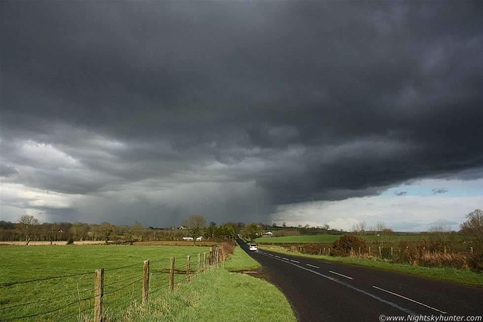
Standing below the flanking line/base of a nice Spring multicell thunderstorm in the Maghera countryside on April 2nd 2011 with the storm's intense precip core visible in the distance as it retreated away from us to the N. This was producing periodic lightning and rumbles of thunder. Large rain drops can be seen streaking through the sky from above catching the sunshine. The dark well-defined rain free base above our heads and to the right of frame is where funnel clouds and tornadoes can form and soon enough this area did develop some nice rotation. A faint rainbow can also be seen for the eagle eyed while a car below followed the road and would soon be under the nasty core of this storm, read the report for more information. * All images are available for sale in the form of photo prints, canvas or digital files for licensing, if you are interested in a purchase simply drop me an email.