 |
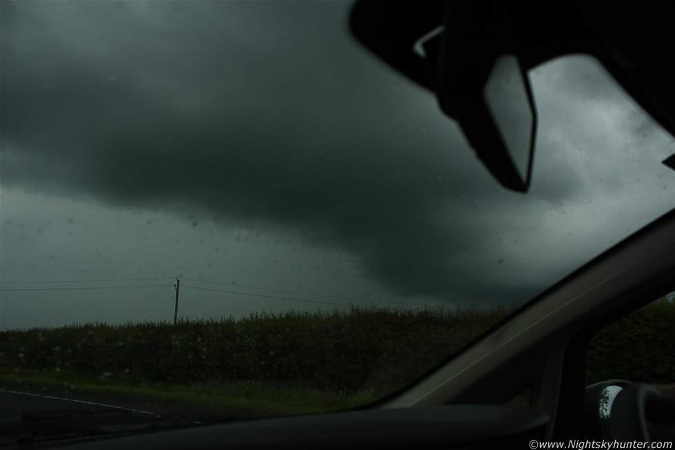
My Mother and I had just seen a funnel cloud over Lough Neagh on June 6th 2012 then hit the road back NW and intercepted a trough which had become a large cluster of thundery activity and at times taking on line convection/squall line properties as it slowly crept NE producing a rich number of c-g strikes on the sferics charts. Just N of Castledawson roundabout we pulled onto the shoulder and watched the storm approach, the structure wasn't impressive however it did look quite mean with a gust front and some whale's mouth on view and within min's the precip core was on top of us followed by a large blue-white c-g bolt of lightning and satisfying rumble of thunder but the cell was too close for photo opps as there was nothing to shoot from within a large precip core so we went N and E to try and get ahead of it, we ended up on the wild country roads near Bellaghy and Gulladuff where there wasn't a great deal of places to pull off the main road so I had to shoot from the car, the above was taken outside Gulladuff as we passed under the advancing gust front of the storm, the clouds were very dark and menacing and low to the ground and soon we were greeted by a couple of in-cloud bolts and rumbling thunder at close intervals which was nice, read the report for more information. * All images are available for sale in the form of photo prints, canvas or digital files for licensing, if you are interested in a purchase simply drop me an email.